Aerial Inspections Services
Services
Aerial Intelligence that Drives Performance
Solar Health Assessments
- Aerial thermal imaging to identify hotspots, electrical faults, PID, failed cells, and bypass diode issues across large solar arrays
- High-resolution aerial visual inspections to detect cracks, delamination, soiling patterns, corrosion, shading, and module surface damage
- Aerial performance mapping that highlights underperforming strings, mismatch conditions, and degradation trends for rapid diagnosis
- Drone-driven reporting and recommendations providing actionable insights to restore panel health, improve production efficiency, and reduce O&M labor time
- Regular inspection programs
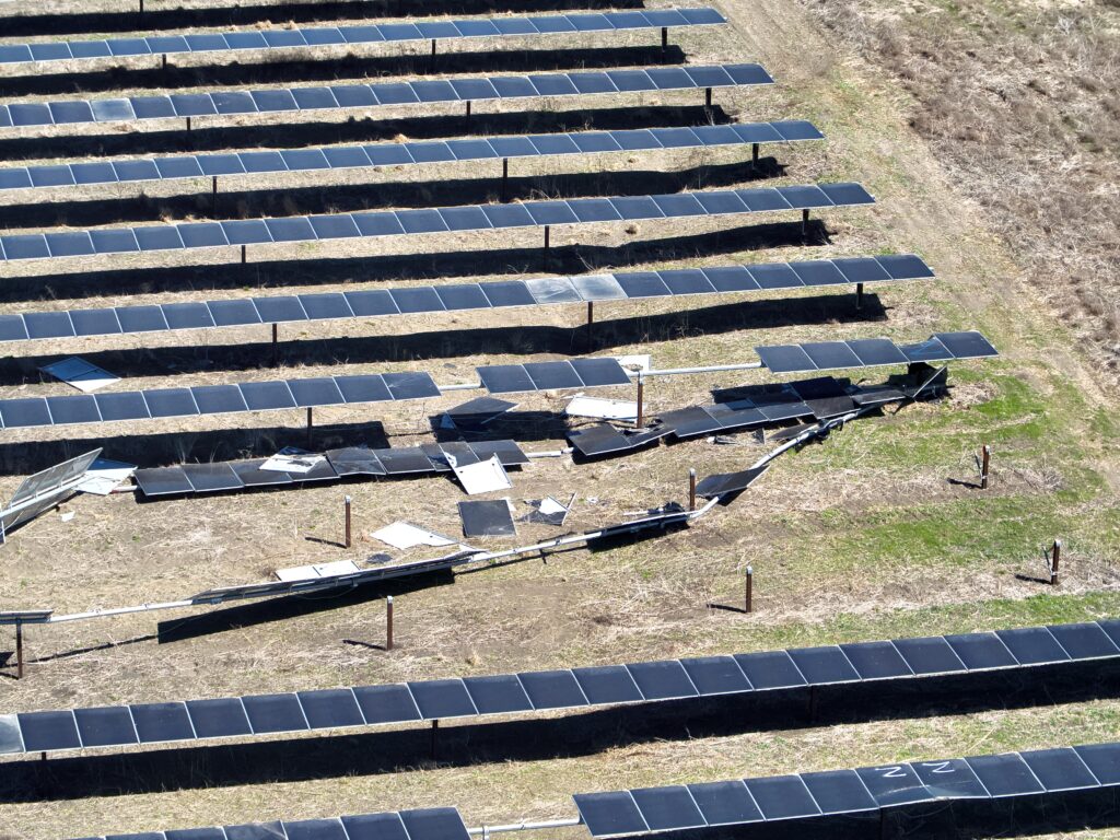
Storm Damage Evaluation
- High-resolution drone mapping using photogrammetry to capture accurate site topography, terrain features, and surface conditions
- 3D modeling to support engineering design, construction planning, and asset visualization across renewable sites
- Cut-and-fill, volume, and earthwork calculations for construction planning, stockpile measurement, and project progress tracking
- Detailed site maps and geospatial data products tailored for environmental reviews, civil design, vegetation management, and long-term planning
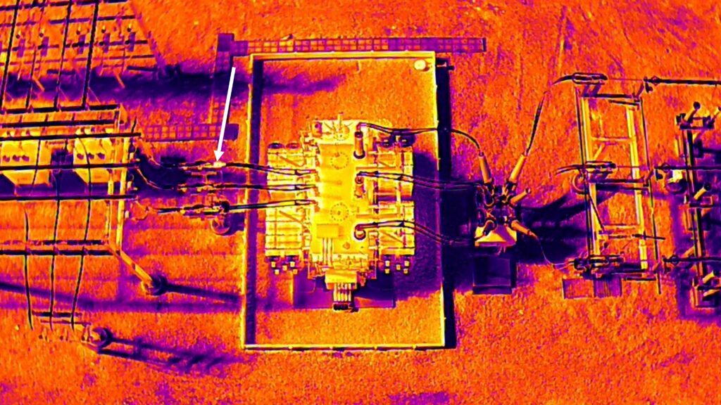
Substation Inspections
- Aerial thermal imaging to detect overheating connectors, faulty relays, failing transformers, SF₆ breaker anomalies, and load-related hotspots
- High-resolution drone visual inspections to identify corrosion, damaged insulators, loose hardware, misalignments, and structural degradation
- Comprehensive aerial assessments of buswork, switches, inductors, arrestors, and terminations for early detection of mechanical and electrical issues
- Actionable inspection reports providing clear findings, risk prioritization, and maintenance recommendations to improve reliability and reduce outage risk
- Pre & post outage inspection plans
- Annual inspection programs
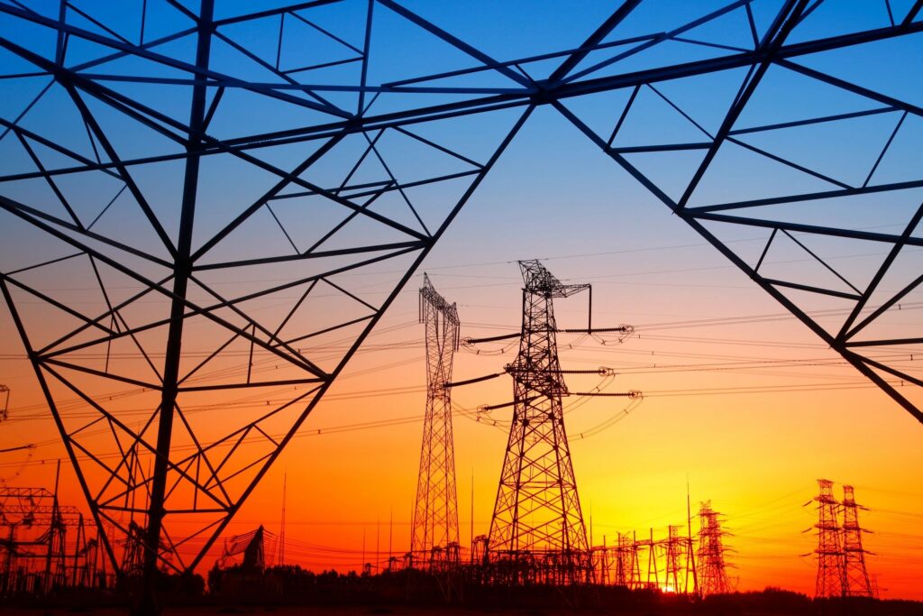
Transmission Line Inspections
- Aerial thermal scanning to detect overheating connectors, failing clamps, loose or damaged hardware, and load-related anomalies along energized lines
- High-resolution drone visual inspections to identify conductor damage, insulator defects, corrosion, vegetation encroachment, and structural issues on poles and towers
- Comprehensive span-to-span assessments capturing conductor sag, clearance measurements, wildlife interference, and environmental risk factors
- Detailed reporting with prioritized findings to support maintenance planning, reduce outage risk, and improve overall transmission system reliability
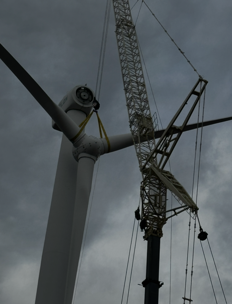
Construction & Repower Support
- Aerial progress monitoring to capture construction milestones, site conditions, and installation accuracy with high-resolution visual and thermal data
- Drone-based mapping and modeling for cut-and-fill analysis, volume measurements, terrain validation, and project planning
- QA/QC verification of installed components, structural alignment, foundation work, electrical routing, and adherence to engineering specifications
- Repower documentation and oversight support including component change-out monitoring, contractor coordination insights, and data-driven reporting for schedule and quality assurance
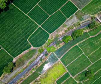
Mapping & Modeling
- High-resolution drone mapping using photogrammetry to capture accurate site topography, terrain features, and surface conditions
- 3D modeling to support engineering design, construction planning, and asset visualization across renewable sites
- Cut-and-fill, volume, and earthwork calculations for construction planning, stockpile measurement, and project progress tracking
- Detailed site maps and geospatial data products tailored for environmental reviews, civil design, vegetation management, and long-term planning